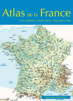
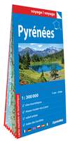
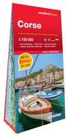
Cartes géographiques et atlas
- 10 Atlas
- 276 Cartes géographiques
- 16 Plans
Date de sortie
Disponibilité
-

-

-

-
-

-
-
 1911Ot Forets De Brotonne Et Du Trait-Maulevrier Pnr De BrotonneXxxIGN – Institut Géographique National13,90
 -
 1811Ot Pont-Audemer - Tancarville - Pnr Des Boucles De La Seine NormandeXxxIGN – Institut Géographique National13,90
 -

-
 2107Ot Le Treport - Saint-Valery-Sur-Somme - Baie De SommeXxxIGN – Institut Géographique National13,90
 -
-
-
-

-

-

-
-

-

-

-
-

-

-